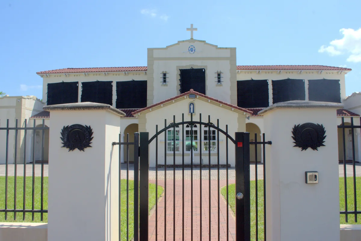
Victoria Park, east of Federal Highway, spans ZIPs 33301 and 33304 and is zoned for Harbordale, Sunrise Middle and Fort Lauderdale High, all A's.
Last checked Oct. 8, 2026. Sources: the City of Fort Lauderdale’s neighborhood associations layer, parcel points and facility points, Broward County’s 2025-26 school boundaries, the Florida Department of Education’s 2026 school grades, Zillow Research, Broward County Transit and OpenStreetMap.
Victoria Park is the residential neighborhood east of Federal Highway between Broward Boulevard and Sunrise Boulevard, running out to the Middle River. OpenStreetMap places a “Victoria Park” neighborhood label inside it. In the city’s parcel data, 1,857 of its 3,795 parcels are single-family homes and 1,160 are condominium units. The median year built of the single-family homes is 1999.
What this means for you
- Zoned high school: Fort Lauderdale High for every parcel, an A school in Florida’s 2026 grades. Check an address with the district’s Find My School tool.
- Home value: $863,144 in ZIP 33301 and $595,863 in 33304 in August 2026, according to the Zillow Home Value Index.
- Nearest I-95 exit: exit 27, Broward Boulevard, about 2.8 miles by road.
Part of our Fort Lauderdale neighborhoods guide.
Where it is
This page follows the area the city maps for the Victoria Park Civic Association, about 666 acres. The association is on the city’s 2026 list of officially recognized neighborhood associations. Federal Highway (U.S. 1) is the west side, Sunrise Boulevard the north and Broward Boulevard the south. The east side follows the Middle River near Hendricks Isle and Sunrise Key.
ZIP codes: 33301 for 55% of parcels, 33304 for 45%. The north part is generally 33304.
Schools
How the area’s parcels fall in Broward County’s 2025-26 school boundary layers, with each school’s 2026 grade from the Florida Department of Education and the share of possible points it earned.
| Level | School | Share of parcels | 2026 grade |
|---|---|---|---|
| Elementary | Harbordale Elementary, 900 SE 15th St. (report card) | 100% | A (73%) |
| Middle | Sunrise Middle, 1750 NE 14th St. (report card) | 100% | A (66%) |
| High | Fort Lauderdale High, 1600 NE Fourth Ave. (report card) | 100% | A (69%) |
Harbordale Elementary is south of the New River, about 1.9 miles in a straight line from the middle of the area. Virginia Shuman Young Elementary, 101 NE 11th Ave., sits inside Victoria Park but is not the zoned school for its parcels in the boundary data. Zones can change from year to year; confirm an address with the district’s Find My School tool. More in our schools guide.
Home values
The typical home value in ZIP 33301 was $863,144 in August 2026, up 1.2% from $852,900 in August 2025. In 33304 it was $595,863, down 1.0% from $601,849, according to the Zillow Home Value Index. The index is a modeled typical value for the middle third of homes, single-family homes and condos together, not a sale price, and each figure covers a whole ZIP code, not just Victoria Park. The citywide figure was $511,473, down 1.3% on the year. More in our home prices guide.
Parks and trails
From the city’s facility data, inside the area or on its edge:
- Holiday Park, 1150 G. Harold Martin Drive, on the north side by Sunrise Boulevard, with the War Memorial Auditorium, 800 NE Eighth St.
- Annie Beck Park, 100 N. Victoria Park Road.
- Victoria Park, the small park at 2 N. Victoria Park Road.
- Tranquility Park, 1029 NE 11th Ave.
- George W. English Park, 1101 Bayview Drive, about a fifth of a mile northeast across Sunrise Boulevard.
- Fort Lauderdale Branch Library (Broward County Library), 1300 E. Sunrise Blvd.
More in our parks and trails guide.
Getting around
- Interstate: I-95 exit 27, Broward Boulevard, about 2.8 miles by road from the middle of the area; exit 29, Sunrise Boulevard, about 3.3 miles.
- City Hall: about 1.3 miles.
- Airport: about 8.3 miles to Fort Lauderdale-Hollywood International Airport.
- These are distances measured on the OpenStreetMap road network with the OSRM routing engine, not drive times.
- Bus: Broward County Transit’s bus stop data lists routes 10 and 20 on Federal Highway and route 36 on Sunrise Boulevard, with route 20 also on Northeast 15th Avenue. Times are in the RideBCT app or on BCT’s website.
Las Olas Boulevard is just south of Broward Boulevard. More in our getting around guide.
Neighborhood association
The Victoria Park Civic Association is on the city’s 2026 recognized list, which says it meets the first Wednesday of every month except August at 7 p.m. at St. Anthony’s School cafeteria, 820 NE Third St. The city describes neighborhood associations as groups “formed by residents and property owners” to advocate for or organize activities in their area. They are separate from a condominium or homeowners association; ask for a property’s governing documents before you buy.
Groceries and everyday stores
From OpenStreetMap, inside the area or on its edge:
- Publix, Sunrise Boulevard
- The Fresh Market, North Federal Highway
- Winn-Dixie, North Federal Highway
- Walgreens, Sunrise Boulevard
- CVS Pharmacy, East Sunrise Boulevard and North Federal Highway
How we drew this area
This page uses the polygon for the Victoria Park Civic Association in the City of Fort Lauderdale’s neighborhood associations layer. Parcel counts, ZIP codes and school shares come from every parcel the city’s parcel data assigns to the association, matched to Broward County’s 2025-26 school boundary layers on Oct. 8, 2026. Store and park locations and road distances use © OpenStreetMap contributors.
Frequently asked questions
What schools is Victoria Park in Fort Lauderdale zoned for?
In Broward County’s 2025-26 school boundary data, the whole area is zoned for Harbordale Elementary, Sunrise Middle and Fort Lauderdale High. All three earned an A in Florida’s 2026 school grades.
What ZIP code is Victoria Park?
It is split: 55% of the area’s parcels are in 33301 and 45% in 33304. Zillow put the typical home value at $863,144 in 33301 and $595,863 in 33304 in August 2026.
Is Victoria Park a good place to live?
Here are the facts. Victoria Park is about 666 acres between Federal Highway and the Middle River, with Holiday Park on its north side. About half of its 3,795 parcels are single-family homes, and every parcel is zoned for three schools that earned an A in 2026.
When does the Victoria Park Civic Association meet?
The first Wednesday of every month except August, at 7 p.m. at St. Anthony’s School cafeteria, 820 NE Third St., according to the city’s 2026 list of recognized neighborhood associations.
Have your say