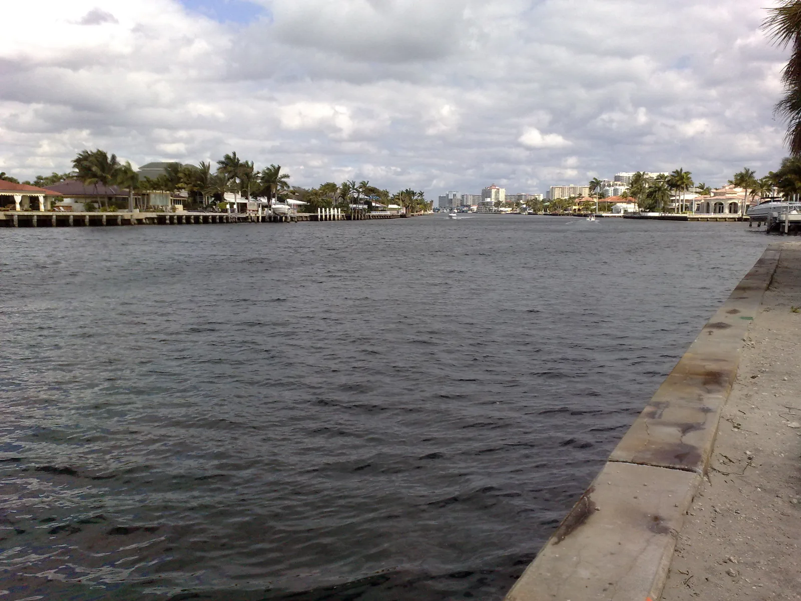
Coral Ridge, between the Middle River and the Intracoastal, spans ZIPs 33304, 33305 and 33306 and is zoned for Bayview Elementary, an A school.
Last checked Oct. 8, 2026. Sources: the City of Fort Lauderdale’s neighborhood associations layer, parcel points and facility points, Broward County’s 2025-26 school boundaries, the Florida Department of Education’s 2026 school grades, Zillow Research, Broward County Transit and OpenStreetMap.
Coral Ridge is the waterfront neighborhood on the mainland side of the Intracoastal Waterway, between Sunrise Boulevard and Oakland Park Boulevard. In the city’s parcel data, 1,489 of its 2,866 parcels are single-family homes, with a median year built of 1956, along with 579 condominium units and 206 co-op units. OpenStreetMap places Coral Ridge and Soroka Shores inside it.
What this means for you
- Zoned high school: Fort Lauderdale High for every parcel, an A school in Florida’s 2026 grades. Check an address with the district’s Find My School tool.
- Home value: $680,782 in ZIP 33305, $595,863 in 33304 and $585,510 in 33306 in August 2026, according to the Zillow Home Value Index.
- Nearest I-95 exit: exit 31, Oakland Park Boulevard, about 4.2 miles by road.
Part of our Fort Lauderdale neighborhoods guide.
Where it is
This page follows the area the city maps for the Coral Ridge Association, about 797 acres. The association is on the city’s 2026 list of officially recognized neighborhood associations. The Intracoastal Waterway is the east side and the Middle River the west, with Federal Highway (U.S. 1) at the northwest corner. Sunrise Boulevard is the south edge and Oakland Park Boulevard the north. Across the Intracoastal are Hugh Taylor Birch State Park and the Central Beach area.
ZIP codes: 33304 for 36% of parcels, 33305 for 32% and 33306 for 31%.
Schools
How the area’s parcels fall in Broward County’s 2025-26 school boundary layers, with each school’s 2026 grade from the Florida Department of Education and the share of possible points it earned.
| Level | School | Share of parcels | 2026 grade |
|---|---|---|---|
| Elementary | Bayview Elementary, 1175 Middle River Drive (report card) | 100% | A (90%) |
| Middle | Sunrise Middle, 1750 NE 14th St. (report card) | 100% | A (66%) |
| High | Fort Lauderdale High, 1600 NE Fourth Ave. (report card) | 100% | A (69%) |
Bayview Elementary earned an A in 2025 as well. Zones can change from year to year; confirm an address with the district’s Find My School tool. More in our schools guide.
Home values
Typical home values in August 2026 from the Zillow Home Value Index, with the change from August 2025:
| ZIP code | Share of the area’s parcels | Typical value | Change on the year |
|---|---|---|---|
| 33304 | 36% | $595,863 | Down 1.0% |
| 33305 | 32% | $680,782 | Up 1.1% |
| 33306 | 31% | $585,510 | Down 1.0% |
The index is a modeled typical value for the middle third of homes, single-family homes and condos together, not a sale price, and each figure covers a whole ZIP code, not just Coral Ridge. The citywide figure was $511,473, down 1.3% on the year. More in our home prices guide.
Parks and trails
From the city’s facility data, inside the area or close to its edge:
- Coral Ridge Park, 2401 NE 27th Terrace.
- George W. English Park, 1101 Bayview Drive.
- Jack and Harriet Kaye Park, 1151 Bayview Drive.
- Bayview Drive canal ends, city-listed spots at the canal ends by 1412, 1512, 1612 and 1712 Bayview Drive.
- Beach Community Center, 3351 NE 33rd Ave., and Dolphin Isles Park, 2125 NE 33rd Ave., about a fifth of a mile from the area’s edge.
Hugh Taylor Birch State Park is across the Intracoastal. More in our parks and trails guide.
Getting around
- Interstate: I-95 exit 31, Oakland Park Boulevard, about 4.2 miles by road from the middle of the area; exit 29, Sunrise Boulevard, about 4.8 miles.
- City Hall: about 3.7 miles.
- Airport: about 11.3 miles to Fort Lauderdale-Hollywood International Airport.
- These are distances measured on the OpenStreetMap road network with the OSRM routing engine, not drive times.
- Bus: Broward County Transit’s bus stop data lists routes 10 and 20 on Federal Highway, route 36 on Sunrise Boulevard, route 40 on Sunrise Boulevard and Northeast 26th Avenue, and route 72 on Oakland Park Boulevard. Times are in the RideBCT app or on BCT’s website.
More in our getting around guide.
Neighborhood association
The Coral Ridge Association is on the city’s 2026 recognized list, which shows two meetings this year at the Coral Ridge Yacht Club, the second at 6 p.m. Thursday, Oct. 22. The city describes neighborhood associations as groups “formed by residents and property owners” to advocate for or organize activities in their area. They are separate from a condominium, co-op or homeowners association; ask for a property’s governing documents before you buy.
Groceries and everyday stores
From OpenStreetMap, inside the area or within about a quarter mile:
- Publix, East Sunrise Boulevard, and two more on Federal Highway
- Trader Joe’s, North Federal Highway
- Whole Foods Market, Federal Highway
- Walgreens, Northeast 26th Street
- CVS Pharmacy, East Sunrise Boulevard
How we drew this area
This page uses the polygon for the Coral Ridge Association in the City of Fort Lauderdale’s neighborhood associations layer. Parcel counts, ZIP codes and school shares come from every parcel the city’s parcel data assigns to the association, matched to Broward County’s 2025-26 school boundary layers on Oct. 8, 2026. Store and park locations and road distances use © OpenStreetMap contributors.
Frequently asked questions
What schools is Coral Ridge in Fort Lauderdale zoned for?
In Broward County’s 2025-26 school boundary data, the whole area is zoned for Bayview Elementary, Sunrise Middle and Fort Lauderdale High. All three earned an A in Florida’s 2026 school grades.
What ZIP code is Coral Ridge?
It is split almost evenly: 36% of the area’s parcels are in 33304, 32% in 33305 and 31% in 33306. Zillow’s typical values in August 2026 were $595,863, $680,782 and $585,510.
Is Coral Ridge a good place to live?
Here are the facts. Coral Ridge is about 797 acres between the Middle River and the Intracoastal Waterway, from Sunrise Boulevard to Oakland Park Boulevard. About half of its 2,866 parcels are single-family homes, and every parcel is zoned for three schools that earned an A in 2026.
When does the Coral Ridge Association meet?
Twice in 2026, according to the city’s list of recognized neighborhood associations: April 23 and Thursday, Oct. 22, at 6 p.m. at the Coral Ridge Yacht Club.
Have your say