A free FAU tool shows Fort Lauderdale under king tides, storms and up to 5 feet of sea level rise. It runs in a web browser, in English and Spanish.
A free online tool lets anyone see how king tides, storms and rising seas could flood Fort Lauderdale streets, from Las Olas Boulevard to Victoria Park. It runs in a web browser as well as on a virtual reality headset.
Florida Atlantic University built “Flooding Explorer: Fort Lauderdale” with its partners and announced it Oct. 27. The web version is open to the public now. The next king tides arrive Sunday, Nov. 22.
What the tool shows
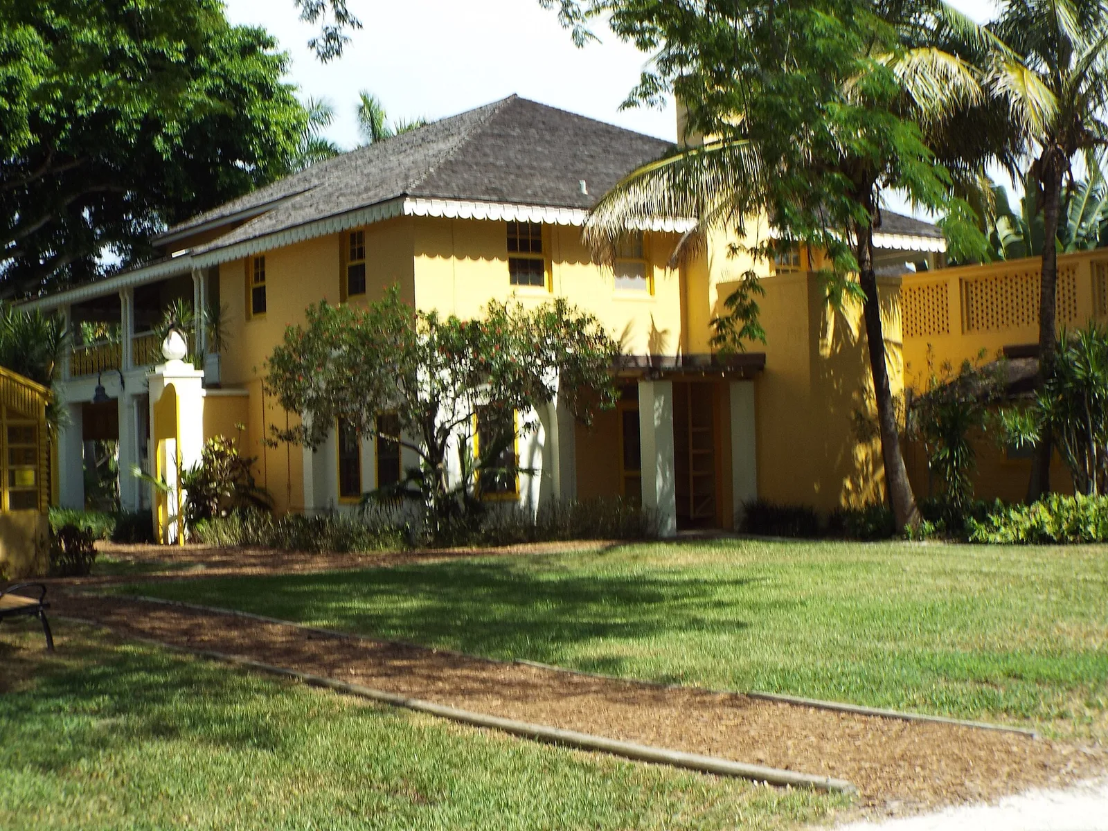
The tour starts at Bonnet House Museum and Gardens on the barrier island. FAU said the house’s builders chose the highest ground they could find there, about 13 feet above sea level.
From there, users move through a 3D model of the city. FAU named these places in the model:
- Las Olas Boulevard and the waterfront hotels
- the Museum of Discovery and Science
- Victoria Park and other neighborhoods inland
- Caron Drive at Northeast 20th Avenue, where water moves in from the Intracoastal Waterway
A slider compares the scenarios. FAU described what each one shows:
| Scenario | What the model shows |
|---|---|
| A five-year storm, today | Flooded streets and neighborhoods |
| 3 feet of sea level rise with king tides | Flooding reaching farther inland |
| 4 feet of sea level rise | Storm drains strained across large areas |
| 5 feet of sea level rise | Some homes and businesses flooded for long periods or for good |
“It’s important to note that these are illustrative scenarios, not predictions,” said Serena Hoermann, director of FAU’s Center for Urban and Environmental Solutions, who led the project.
The tool also shows ways to cut the risk:
- better drainage and pumping stations
- higher seawalls
- wetland restoration and other green infrastructure
Who built it
FAU worked with Virtual Planet Technologies, the Florida Division of Emergency Management, FEMA, Bonnet House and the Museum of Discovery and Science. The state emergency management division and FEMA paid for it. FAU did not say what it cost.
“Virtual reality lets people experience flooding in ways that maps and statistics alone cannot,” Hoermann said.
What it means for you
- Try it: open the Flooding Explorer on a computer or a phone turned sideways. It needs a browser that supports WebGL. FAU said it is available in English and Spanish, with closed captions.
- The next king tides: the city predicts them for Nov. 22-28 and Dec. 24-25. The October round pushed the Middle River gauge past major flood stage, as we reported in our king tides coverage.
- Report a flooded road: the city asks people to report impassable roads to its Customer Support Center at 954-828-8000.
- Plan a visit to Bonnet House: our history and landmarks page has more on the estate.
Have your say